
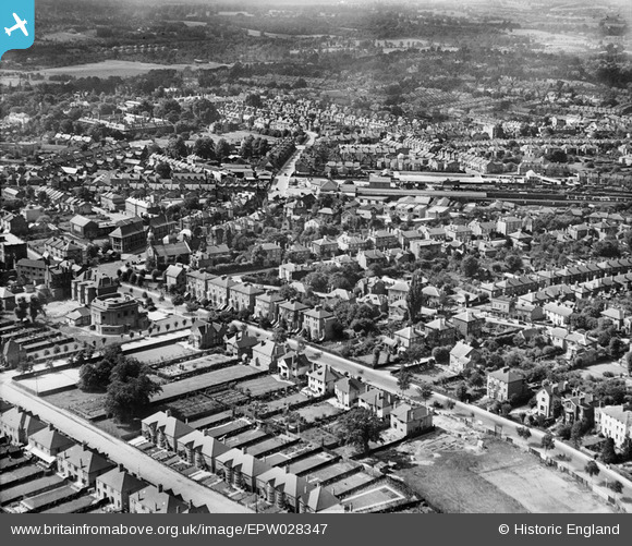
EPW028347 ENGLAND (1929). The town, Bromley, from the east, 1929
© Copyright OpenStreetMap contributors and licensed by the OpenStreetMap Foundation. 2026. Cartography is licensed as CC BY-SA.
Nearby Images (3)
EPW028347

EPW028345

EPW028353

Details
| Title | [EPW028347] The town, Bromley, from the east, 1929 |
| Reference | EPW028347 |
| Date | August-1929 |
| Link | |
| Place name | BROMLEY |
| Parish | |
| District | |
| Country | ENGLAND |
| Easting / Northing | 540708, 169471 |
| Longitude / Latitude | 0.023261797564517, 51.406291588816 |
| National Grid Reference | TQ407695 |
