
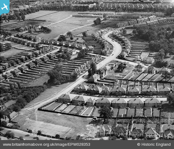
EPW028353 ENGLAND (1929). Murray Avenue and environs, Bromley, 1929
© Copyright OpenStreetMap contributors and licensed by the OpenStreetMap Foundation. 2026. Cartography is licensed as CC BY-SA.
Nearby Images (2)
EPW028353

EPW028347

Details
| Title | [EPW028353] Murray Avenue and environs, Bromley, 1929 |
| Reference | EPW028353 |
| Date | August-1929 |
| Link | |
| Place name | BROMLEY |
| Parish | |
| District | |
| Country | ENGLAND |
| Easting / Northing | 540872, 169319 |
| Longitude / Latitude | 0.025558020223587, 51.404884841189 |
| National Grid Reference | TQ409693 |
Pins
Be the first to add a comment to this image!