
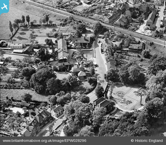
EPW028296 ENGLAND (1929). Bexley High Street and Queenfisher Corn and Flour Mill, Old Bexley, 1929
© Copyright OpenStreetMap contributors and licensed by the OpenStreetMap Foundation. 2026. Cartography is licensed as CC BY-SA.
Nearby Images (5)
EPW028296

EPW028302

EPW028278

EPW028298

EPW028299

Details
| Title | [EPW028296] Bexley High Street and Queenfisher Corn and Flour Mill, Old Bexley, 1929 |
| Reference | EPW028296 |
| Date | August-1929 |
| Link | |
| Place name | OLD BEXLEY |
| Parish | |
| District | |
| Country | ENGLAND |
| Easting / Northing | 549671, 173489 |
| Longitude / Latitude | 0.15374462774165, 51.44010358948 |
| National Grid Reference | TQ497735 |
Pins
Be the first to add a comment to this image!