
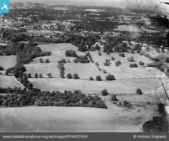
EPW027634 ENGLAND (1929). Friezland Wood, Nevill Court and Rusthall Common, Royal Tunbridge Wells, 1929
© Copyright OpenStreetMap contributors and licensed by the OpenStreetMap Foundation. 2026. Cartography is licensed as CC BY-SA.
Nearby Images (7)
EPW027634

EPW027636

EPW027635

EPW027632

EAW028854

EAW028851
, Royal Tunbridge Wells, 1950. This image was marked by Aerofilms Ltd for photo editing.")
EPW027637

Details
| Title | [EPW027634] Friezland Wood, Nevill Court and Rusthall Common, Royal Tunbridge Wells, 1929 |
| Reference | EPW027634 |
| Date | 23-June-1929 |
| Link | |
| Place name | ROYAL TUNBRIDGE WELLS |
| Parish | |
| District | |
| Country | ENGLAND |
| Easting / Northing | 556624, 138779 |
| Longitude / Latitude | 0.23849577682546, 51.12632208024 |
| National Grid Reference | TQ566388 |
Pins
Be the first to add a comment to this image!