
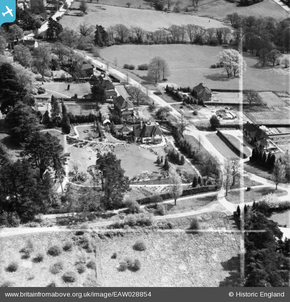
EAW028854 ENGLAND (1950). Windwood and adjacent properties at The Crossway, Royal Tunbridge Wells, 1950. This image was marked by Aerofilms Ltd for photo editing.
© Copyright OpenStreetMap contributors and licensed by the OpenStreetMap Foundation. 2026. Cartography is licensed as CC BY-SA.
Nearby Images (6)
EAW028854

EAW028851
, Royal Tunbridge Wells, 1950. This image was marked by Aerofilms Ltd for photo editing.")
EAW028852

EAW028853

EPW027634

EPW027639

Details
| Title | [EAW028854] Windwood and adjacent properties at The Crossway, Royal Tunbridge Wells, 1950. This image was marked by Aerofilms Ltd for photo editing. |
| Reference | EAW028854 |
| Date | 1-May-1950 |
| Link | |
| Place name | ROYAL TUNBRIDGE WELLS |
| Parish | |
| District | |
| Country | ENGLAND |
| Easting / Northing | 556688, 138942 |
| Longitude / Latitude | 0.23948059604494, 51.127769326119 |
| National Grid Reference | TQ567389 |
Pins
Be the first to add a comment to this image!