
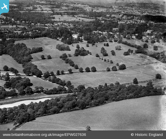
EPW027636 ENGLAND (1929). Friezland Wood, Nevill Court and surrounding countryside, Royal Tunbridge Wells, 1929
© Copyright OpenStreetMap contributors and licensed by the OpenStreetMap Foundation. 2026. Cartography is licensed as CC BY-SA.
Nearby Images (5)
EPW027636

EPW027632

EPW027634

EPW027635

EPW027637

Details
| Title | [EPW027636] Friezland Wood, Nevill Court and surrounding countryside, Royal Tunbridge Wells, 1929 |
| Reference | EPW027636 |
| Date | 23-June-1929 |
| Link | |
| Place name | ROYAL TUNBRIDGE WELLS |
| Parish | |
| District | |
| Country | ENGLAND |
| Easting / Northing | 556581, 138677 |
| Longitude / Latitude | 0.23783740175984, 51.125417243681 |
| National Grid Reference | TQ566387 |
Pins
Be the first to add a comment to this image!