
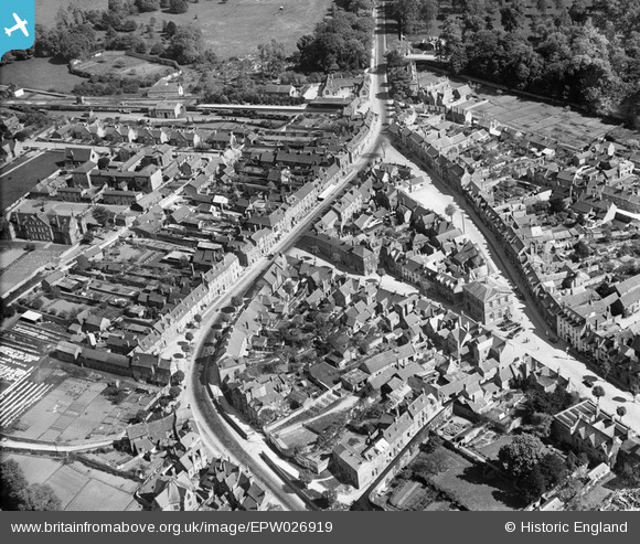
EPW026919 ENGLAND (1929). The town centre, Woodstock, 1929
© Copyright OpenStreetMap contributors and licensed by the OpenStreetMap Foundation. 2026. Cartography is licensed as CC BY-SA.
Nearby Images (8)
EPW026919

EPW026917

EPW026916

EPW026922

EPW026918

EPW026925

EAW014902

EPW026915

Details
| Title | [EPW026919] The town centre, Woodstock, 1929 |
| Reference | EPW026919 |
| Date | May-1929 |
| Link | |
| Place name | WOODSTOCK |
| Parish | WOODSTOCK |
| District | |
| Country | ENGLAND |
| Easting / Northing | 444554, 216767 |
| Longitude / Latitude | -1.3531363190291, 51.847277706092 |
| National Grid Reference | SP446168 |
Pins

ndaisley |
Tuesday 10th of September 2013 05:07:41 PM |