
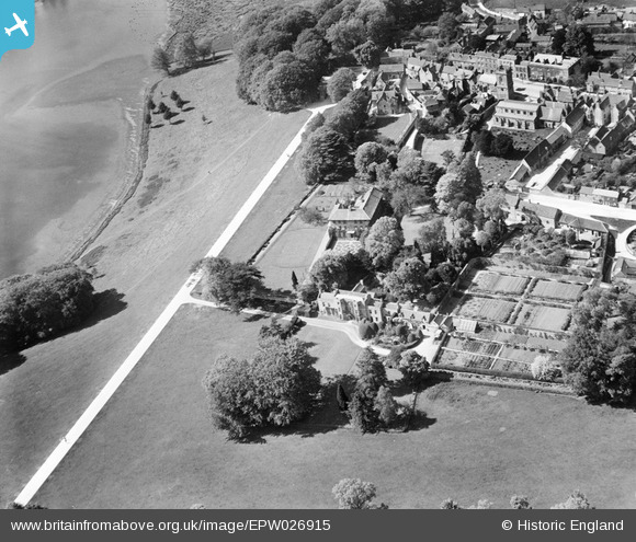
EPW026915 ENGLAND (1929). Woodstock House and environs, Woodstock, 1929
© Copyright OpenStreetMap contributors and licensed by the OpenStreetMap Foundation. 2026. Cartography is licensed as CC BY-SA.
Nearby Images (8)
EPW026915

EPW026921

EAW014902

EPW026922

EPW026918

EPW026916

EPW026917

EPW026919

Details
| Title | [EPW026915] Woodstock House and environs, Woodstock, 1929 |
| Reference | EPW026915 |
| Date | May-1929 |
| Link | |
| Place name | WOODSTOCK |
| Parish | WOODSTOCK |
| District | |
| Country | ENGLAND |
| Easting / Northing | 444363, 216559 |
| Longitude / Latitude | -1.3559358839731, 51.845422708121 |
| National Grid Reference | SP444166 |
Pins
Be the first to add a comment to this image!