
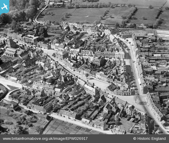
EPW026917 ENGLAND (1929). The town centre, Woodstock, 1929
© Copyright OpenStreetMap contributors and licensed by the OpenStreetMap Foundation. 2026. Cartography is licensed as CC BY-SA.
Nearby Images (8)
EPW026917

EPW026919

EPW026916

EPW026922

EPW026918

EPW026925

EAW014902

EPW026915

Details
| Title | [EPW026917] The town centre, Woodstock, 1929 |
| Reference | EPW026917 |
| Date | May-1929 |
| Link | |
| Place name | WOODSTOCK |
| Parish | WOODSTOCK |
| District | |
| Country | ENGLAND |
| Easting / Northing | 444532, 216719 |
| Longitude / Latitude | -1.3534618909882, 51.846847874624 |
| National Grid Reference | SP445167 |
