
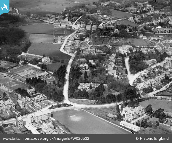
EPW026532 ENGLAND (1929). Fernhill Road and environs, Grange-Over-Sands, 1929
© Copyright OpenStreetMap contributors and licensed by the OpenStreetMap Foundation. 2026. Cartography is licensed as CC BY-SA.
Nearby Images (5)
EPW026532

EPW026531

EAW038392

EAW038895

EAW038896

Details
| Title | [EPW026532] Fernhill Road and environs, Grange-Over-Sands, 1929 |
| Reference | EPW026532 |
| Date | May-1929 |
| Link | |
| Place name | GRANGE-OVER-SANDS |
| Parish | GRANGE-OVER-SANDS |
| District | |
| Country | ENGLAND |
| Easting / Northing | 340316, 477408 |
| Longitude / Latitude | -2.9147615772698, 54.188795117686 |
| National Grid Reference | SD403774 |
Pins

oversands |
Wednesday 27th of June 2012 06:57:13 AM |