
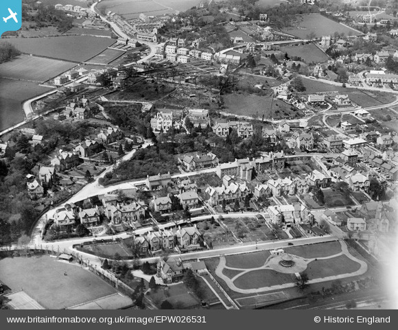
EPW026531 ENGLAND (1929). Fernleigh Road and environs, Grange-Over-Sands, 1929
© Copyright OpenStreetMap contributors and licensed by the OpenStreetMap Foundation. 2026. Cartography is licensed as CC BY-SA.
Nearby Images (3)
EPW026531

EPW026527

EPW026532

Details
| Title | [EPW026531] Fernleigh Road and environs, Grange-Over-Sands, 1929 |
| Reference | EPW026531 |
| Date | May-1929 |
| Link | |
| Place name | GRANGE-OVER-SANDS |
| Parish | GRANGE-OVER-SANDS |
| District | |
| Country | ENGLAND |
| Easting / Northing | 340416, 477533 |
| Longitude / Latitude | -2.9132538808937, 54.189930155468 |
| National Grid Reference | SD404775 |
Pins

oversands |
Wednesday 27th of June 2012 06:59:08 AM |