
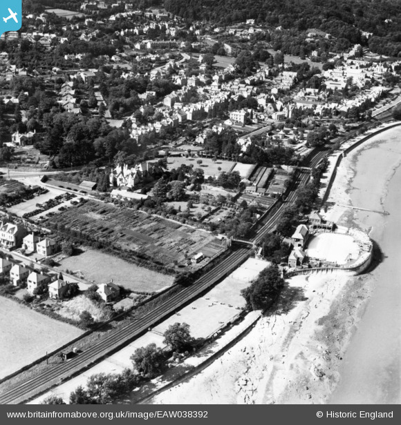
EAW038392 ENGLAND (1951). Berners Close and environs, Grange-Over-Sands, 1951. This image has been produced from a print.
© Copyright OpenStreetMap contributors and licensed by the OpenStreetMap Foundation. 2026. Cartography is licensed as CC BY-SA.
Nearby Images (3)
EAW038392

EAW038391

EPW026532

Details
| Title | [EAW038392] Berners Close and environs, Grange-Over-Sands, 1951. This image has been produced from a print. |
| Reference | EAW038392 |
| Date | 6-August-1951 |
| Link | |
| Place name | GRANGE-OVER-SANDS |
| Parish | GRANGE-OVER-SANDS |
| District | |
| Country | ENGLAND |
| Easting / Northing | 340497, 477257 |
| Longitude / Latitude | -2.9119579544575, 54.18745906832 |
| National Grid Reference | SD405773 |
Pins
Be the first to add a comment to this image!