
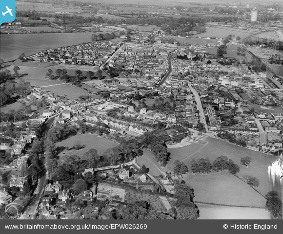
EPW026269 ENGLAND (1929). The town, Egham, from the south-west, 1929
© Copyright OpenStreetMap contributors and licensed by the OpenStreetMap Foundation. 2026. Cartography is licensed as CC BY-SA.
Nearby Images (4)
EPW026269

EPW023515

EPW026270

EPW023511

Details
| Title | [EPW026269] The town, Egham, from the south-west, 1929 |
| Reference | EPW026269 |
| Date | 25-April-1929 |
| Link | |
| Place name | EGHAM |
| Parish | |
| District | |
| Country | ENGLAND |
| Easting / Northing | 500532, 171064 |
| Longitude / Latitude | -0.55374589684439, 51.429160109826 |
| National Grid Reference | TQ005711 |
Pins

Cuttin' |
Wednesday 28th of September 2022 01:39:56 AM | |

Class31 |
Tuesday 30th of October 2012 04:59:56 PM | |
|
Class31 |
Tuesday 30th of October 2012 04:59:16 PM | |
|
Class31 |
Tuesday 30th of October 2012 04:58:54 PM | |
|
Class31 |
Tuesday 30th of October 2012 04:58:14 PM |