
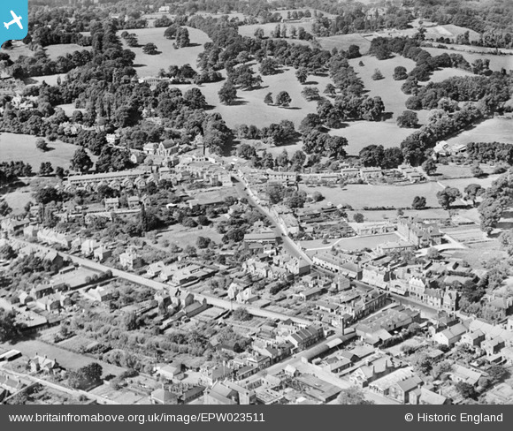
EPW023511 ENGLAND (1928). The High Street and environs, Egham, 1928
© Copyright OpenStreetMap contributors and licensed by the OpenStreetMap Foundation. 2026. Cartography is licensed as CC BY-SA.
Nearby Images (3)
EPW023511

EPW026270

EPW026269

Details
| Title | [EPW023511] The High Street and environs, Egham, 1928 |
| Reference | EPW023511 |
| Date | September-1928 |
| Link | |
| Place name | EGHAM |
| Parish | |
| District | |
| Country | ENGLAND |
| Easting / Northing | 500745, 171285 |
| Longitude / Latitude | -0.55061985771059, 51.431109004073 |
| National Grid Reference | TQ007713 |
Pins

David960 |
Thursday 29th of October 2015 07:28:48 PM | |
|
David960 |
Thursday 29th of October 2015 07:28:23 PM | |
|
bumblee |
Friday 19th of December 2014 03:30:34 PM | |
Spelled Strodes's. Also known as Strode's School at this time. Didn't become a college until many years later. |
richburton |
Monday 23rd of March 2015 10:39:57 PM |

Class31 |
Tuesday 30th of October 2012 05:08:35 PM | |
|
Class31 |
Tuesday 30th of October 2012 05:07:57 PM | |
|
Class31 |
Tuesday 30th of October 2012 05:07:38 PM |
User Comment Contributions
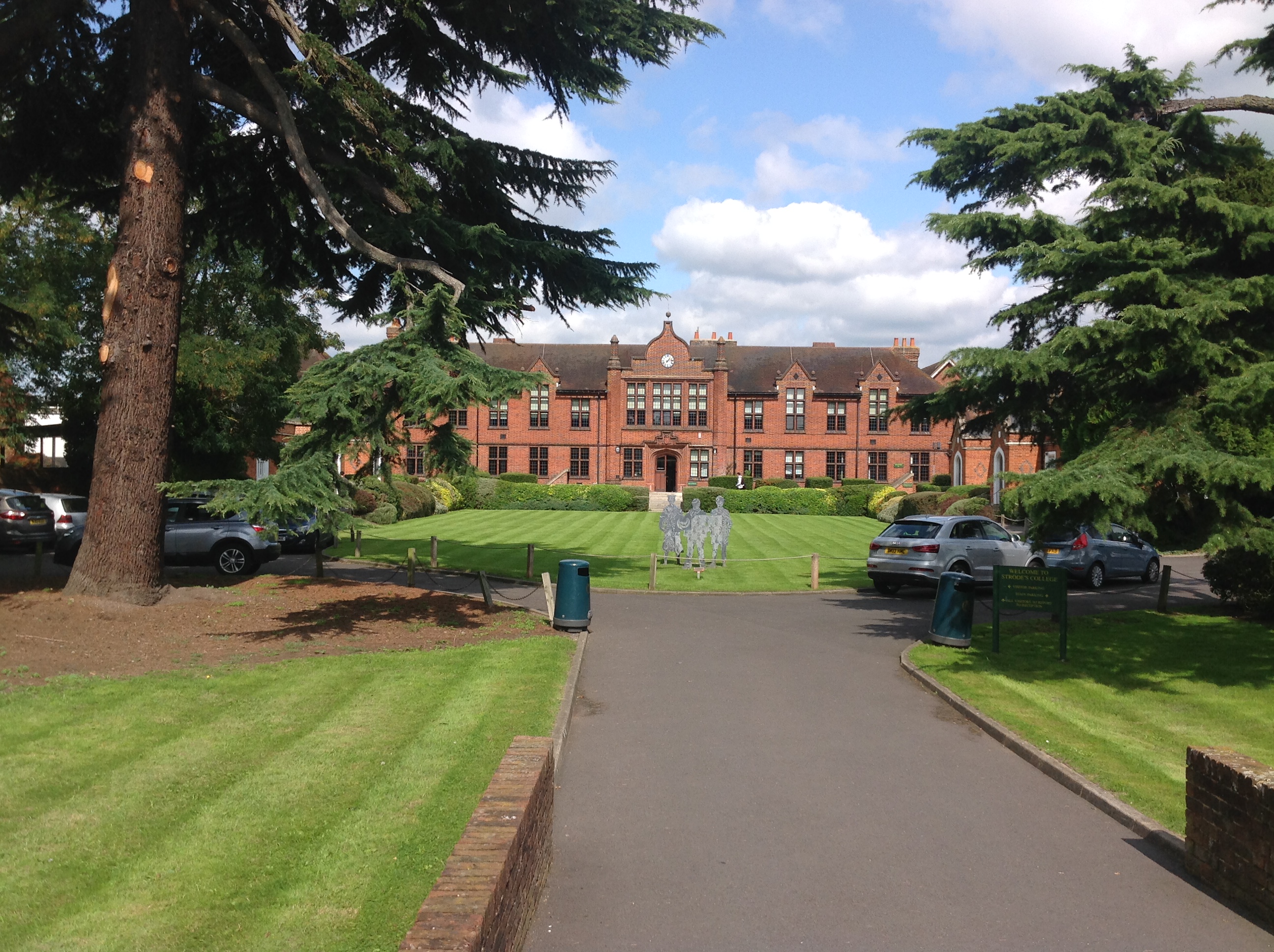
Strode's College, 07/09/2015 |
Class31 |
Tuesday 8th of September 2015 08:45:59 PM |
Strode's School. |
richburton |
Monday 23rd of March 2015 10:40:21 PM |