
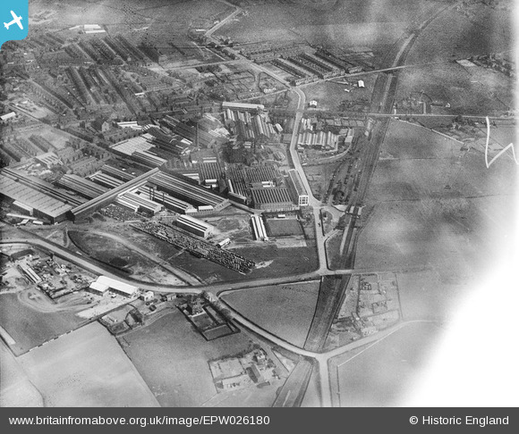
EPW026180 ENGLAND (1929). The British Insulated Cable Works, Prescot, 1929
© Copyright OpenStreetMap contributors and licensed by the OpenStreetMap Foundation. 2026. Cartography is licensed as CC BY-SA.
Nearby Images (48)
EPW026180

EPW054342

EPW027865

EAW017346

EAW021947

EPW014159

EPW025351

EPW026181

EPW025352

EPW027866

EPW027864

EPW026182

EAW021942

EPW054343

EPW026179

EPR000625

EPW053284

EPW053286

EAW021948

EPW025208

EPW026178

EPW053287

EPW053288

EAW017345

EPR000627

EAW021943

EPR000626

EAW017344

EPW054344

EPW053289

EPW054345

EPW054340

EPW018933

EPW025209

EPW053285

EPW054341

EPW025207

EPW025213

EPW025350

EPW025210

EAW021941

EPW025206

EAW021944

EAW021950

EPW025205

EPW026175

EAW021951

EPW026174

Details
| Title | [EPW026180] The British Insulated Cable Works, Prescot, 1929 |
| Reference | EPW026180 |
| Date | April-1929 |
| Link | |
| Place name | PRESCOT |
| Parish | PRESCOT |
| District | |
| Country | ENGLAND |
| Easting / Northing | 346927, 392256 |
| Longitude / Latitude | -2.798765397703, 53.424166317214 |
| National Grid Reference | SJ469923 |
Pins
Be the first to add a comment to this image!