
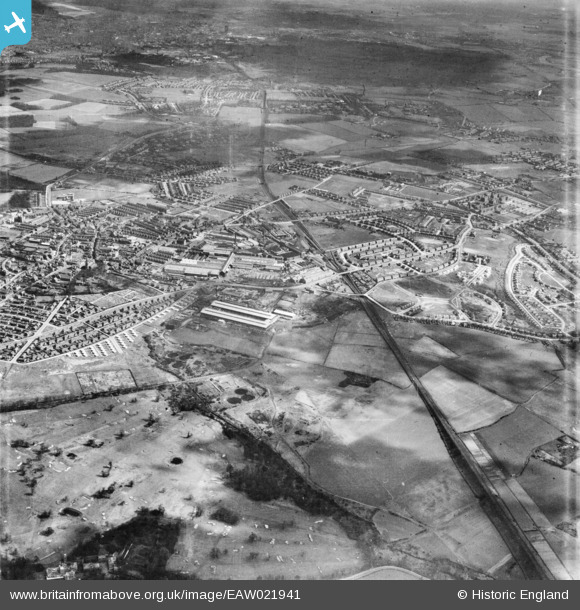
EAW021941 ENGLAND (1949). The town, Prescot, 1949. This image was marked by Aerofilms Ltd for photo editing.
© Copyright OpenStreetMap contributors and licensed by the OpenStreetMap Foundation. 2026. Cartography is licensed as CC BY-SA.
Nearby Images (35)
EAW021941

EAW021945

EPR000626

EAW017345

EPR000625

EPW054343

EAW021944

EAW017352

EAW017346

EAW017351

EAW017353

EPW026176

EAW021946

EPW014159

EPW026181

EPW026179

EPW026182

EPW025351

EPW026180

EPW025352

EPW027865

EAW021942

EPW053287

EPW054342

EPW053288

EAW021947

EPW053286

EPW054345

EPW027866

EPW053284

EPW027864

EAW021948

EAW021943

EPR000627

EPW026178

Details
| Title | [EAW021941] The town, Prescot, 1949. This image was marked by Aerofilms Ltd for photo editing. |
| Reference | EAW021941 |
| Date | 9-April-1949 |
| Link | |
| Place name | PRESCOT |
| Parish | PRESCOT |
| District | |
| Country | ENGLAND |
| Easting / Northing | 346728, 392161 |
| Longitude / Latitude | -2.801744023139, 53.423292326029 |
| National Grid Reference | SJ467922 |
Pins
Be the first to add a comment to this image!