
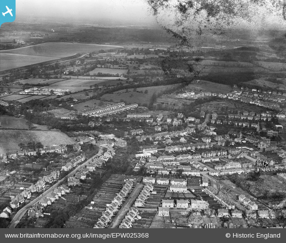
EPW025368 ENGLAND (1928). Chingford and surrounding countryside, Chingford, from the south, 1928
© Copyright OpenStreetMap contributors and licensed by the OpenStreetMap Foundation. 2026. Cartography is licensed as CC BY-SA.
Nearby Images (6)
EPW025368

EPW025432

EPW025431

EPW025426

EPW035559

EPW025366

Details
| Title | [EPW025368] Chingford and surrounding countryside, Chingford, from the south, 1928 |
| Reference | EPW025368 |
| Date | November-1928 |
| Link | |
| Place name | CHINGFORD |
| Parish | |
| District | |
| Country | ENGLAND |
| Easting / Northing | 538376, 194181 |
| Longitude / Latitude | -0.00054461174035006, 51.628934880087 |
| National Grid Reference | TQ384942 |
Pins

downloader141 |
Friday 12th of November 2021 11:30:40 PM | |
|
downloader141 |
Friday 12th of November 2021 11:27:15 PM |