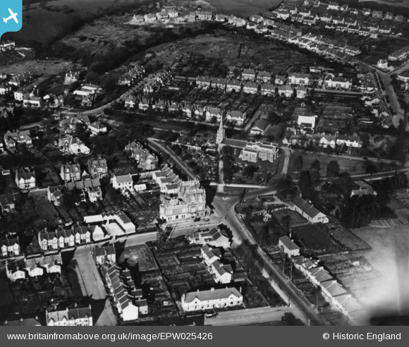
EPW025426 ENGLAND (1928). St Peter & St Paul's Church and environs, Chingford, 1928. This image has been produced from a print.
    © Copyright OpenStreetMap contributors and licensed by the OpenStreetMap Foundation. 2025. Cartography is licensed as CC BY-SA.
  
Nearby Images (5)
Details
| Title | [EPW025426] St Peter & St Paul's Church and environs, Chingford, 1928. This image has been produced from a print. | 
| Reference | EPW025426 | 
| Date | 8-December-1928 | 
| Link | |
| Place name | CHINGFORD | 
| Parish | |
| District | |
| Country | ENGLAND | 
| Easting / Northing | 538565, 194361 | 
| Longitude / Latitude | 0.0022557793625085, 51.63050598519 | 
| National Grid Reference | TQ386944 | 
Pins
Be the first to add a comment to this image!
 
             
  ![[EPW025426] St Peter & St Paul's Church and environs, Chingford, 1928. This image has been produced from a print.](http://britainfromabove.org.uk/sites/all/libraries/aerofilms-images/public/100x100/EPW/025/EPW025426.jpg) 
  
                                          ![[EPW025432] St Peter and St Paul's Church and The Green, Chingford Green, 1928](http://britainfromabove.org.uk/sites/all/libraries/aerofilms-images/public/100x100/EPW/025/EPW025432.jpg) 
 ![[EPW025366] St Peter and St Paul's Church and Chingford Green, Chingford, 1928](http://britainfromabove.org.uk/sites/all/libraries/aerofilms-images/public/100x100/EPW/025/EPW025366.jpg) 
 ![[EPW025431] The Green and environs, Chingford Green, 1928](http://britainfromabove.org.uk/sites/all/libraries/aerofilms-images/public/100x100/EPW/025/EPW025431.jpg) 
 ![[EPW025368] Chingford and surrounding countryside, Chingford, from the south, 1928](http://britainfromabove.org.uk/sites/all/libraries/aerofilms-images/public/100x100/EPW/025/EPW025368.jpg)