
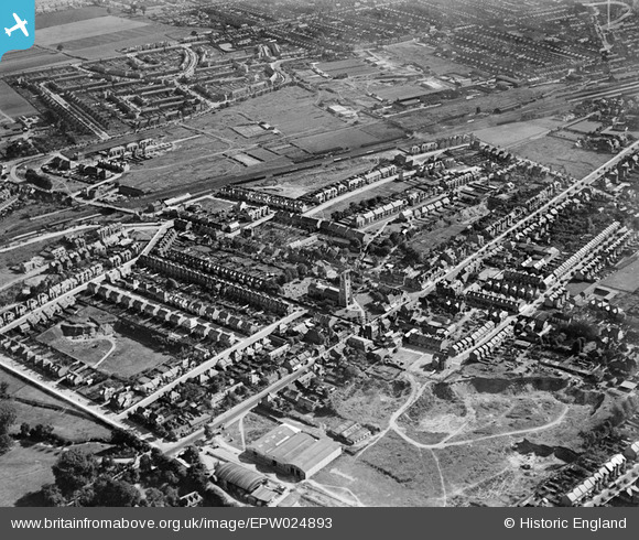
EPW024893 ENGLAND (1928). St Mary's Church, Victoria Avenue and environs, Prittlewell, 1928
© Copyright OpenStreetMap contributors and licensed by the OpenStreetMap Foundation. 2026. Cartography is licensed as CC BY-SA.
Nearby Images (17)
EPW024893

EAW050587

EAW050589

EAW050588

EAW050809

EAW050810

EAW050591

EAW050592

EAW050804

EAW050805

EAW050806

EAW050590

EAW050803

EAW050594

EAW050808

EAW050807

EAW050593

Details
| Title | [EPW024893] St Mary's Church, Victoria Avenue and environs, Prittlewell, 1928 |
| Reference | EPW024893 |
| Date | 3-October-1928 |
| Link | |
| Place name | PRITTLEWELL |
| Parish | |
| District | |
| Country | ENGLAND |
| Easting / Northing | 587778, 186793 |
| Longitude / Latitude | 0.70858716808309, 51.548257306002 |
| National Grid Reference | TQ878868 |
Pins

Julie316 |
Sunday 23rd of April 2023 09:18:10 AM | |
|
RichE |
Monday 1st of February 2021 02:19:32 PM | |
|
RichE |
Monday 1st of February 2021 02:18:33 PM | |
|
gBr |
Monday 12th of January 2015 04:57:33 PM | |
|
68863345 |
Monday 5th of May 2014 06:37:01 PM | |
|
68863345 |
Monday 5th of May 2014 06:15:50 PM | |
|
Roadrunner |
Sunday 14th of July 2013 06:51:16 PM |