
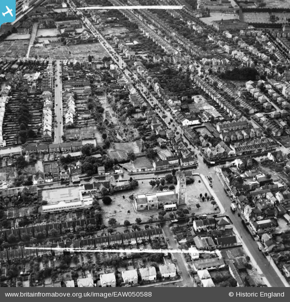
EAW050588 ENGLAND (1953). St Mary's Church, Victoria Avenue and the surrounding residential area, Southend-on-Sea, 1953. This image was marked by Aerofilms Ltd for photo editing.
© Copyright OpenStreetMap contributors and licensed by the OpenStreetMap Foundation. 2026. Cartography is licensed as CC BY-SA.
Nearby Images (17)
EAW050588

EAW050810

EAW050591

EAW050592

EAW050809

EAW050587

EAW050805

EAW050589

EAW050590

EPW024893

EAW050804

EAW050803

EAW050594

EAW050808

EAW050806

EAW050807

EAW050593

Details
| Title | [EAW050588] St Mary's Church, Victoria Avenue and the surrounding residential area, Southend-on-Sea, 1953. This image was marked by Aerofilms Ltd for photo editing. |
| Reference | EAW050588 |
| Date | 10-July-1953 |
| Link | |
| Place name | SOUTHEND-ON-SEA |
| Parish | |
| District | |
| Country | ENGLAND |
| Easting / Northing | 587723, 186707 |
| Longitude / Latitude | 0.70774888897155, 51.547503121866 |
| National Grid Reference | TQ877867 |
Pins
Be the first to add a comment to this image!