
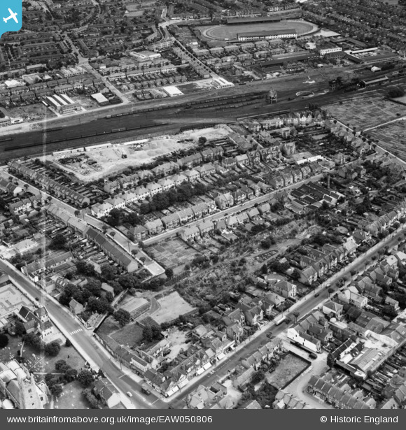
EAW050806 ENGLAND (1953). Tunbridge Road and environs, Southend-on-Sea, 1953. This image was marked by Aerofilms Ltd for photo editing.
© Copyright OpenStreetMap contributors and licensed by the OpenStreetMap Foundation. 2026. Cartography is licensed as CC BY-SA.
Nearby Images (17)
EAW050806

EAW050804

EAW050808

EAW050805

EAW050809

EAW050594

EAW050803

EAW050590

EAW050592

EAW050593

EAW050807

EAW050587

EAW050588

EAW050810

EPW024893

EAW050591

EAW050589

Details
| Title | [EAW050806] Tunbridge Road and environs, Southend-on-Sea, 1953. This image was marked by Aerofilms Ltd for photo editing. |
| Reference | EAW050806 |
| Date | 21-July-1953 |
| Link | |
| Place name | SOUTHEND-ON-SEA |
| Parish | |
| District | |
| Country | ENGLAND |
| Easting / Northing | 587859, 186661 |
| Longitude / Latitude | 0.70968365396615, 51.547044671438 |
| National Grid Reference | TQ879867 |
