
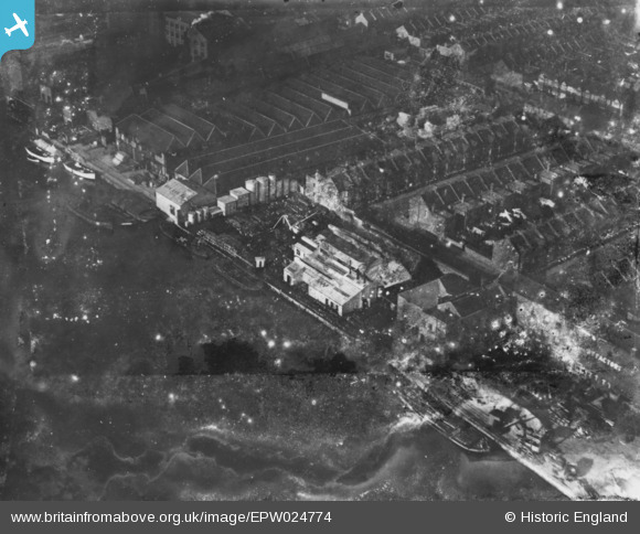
EPW024774 ENGLAND (1928). Manbre Saccharine Works, Bryce Westons Shirt Factory and environs, Fulham, 1928. This image has been produced from a damaged print.
© Copyright OpenStreetMap contributors and licensed by the OpenStreetMap Foundation. 2026. Cartography is licensed as CC BY-SA.
Nearby Images (20)
EPW024774

EPW024773

EPW010782

EPW022804

EPW024775

EPW022803

EPW022802

EPW022800

EPW022799

EPW022801

EPW022560

EPW022555

EPW022805

EPW059342

EPW022554

EPW022556

EPW022558

EPW022561

EPW007981

EPW022557

Details
| Title | [EPW024774] Manbre Saccharine Works, Bryce Westons Shirt Factory and environs, Fulham, 1928. This image has been produced from a damaged print. |
| Reference | EPW024774 |
| Date | September-1928 |
| Link | |
| Place name | FULHAM |
| Parish | |
| District | |
| Country | ENGLAND |
| Easting / Northing | 523340, 177685 |
| Longitude / Latitude | -0.2234740988552, 51.484165390625 |
| National Grid Reference | TQ233777 |
Pins
Be the first to add a comment to this image!