
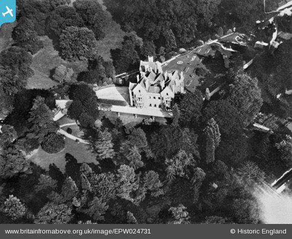
EPW024731 ENGLAND (1928). Wallingford Castle, Wallingford, 1928. This image has been produced from a copy-negative.
© Copyright OpenStreetMap contributors and licensed by the OpenStreetMap Foundation. 2026. Cartography is licensed as CC BY-SA.
Nearby Images (8)
EPW024731

EAW046250

EAW046251

EPW000893

EPW024730

EPW000892

EPW000898

EPW000899

Details
| Title | [EPW024731] Wallingford Castle, Wallingford, 1928. This image has been produced from a copy-negative. |
| Reference | EPW024731 |
| Date | September-1928 |
| Link | |
| Place name | WALLINGFORD |
| Parish | WALLINGFORD |
| District | |
| Country | ENGLAND |
| Easting / Northing | 460827, 189641 |
| Longitude / Latitude | -1.1216399803254, 51.601848881008 |
| National Grid Reference | SU608896 |
Pins
Be the first to add a comment to this image!
User Comment Contributions
Incorrect title - Wallingford Castle does not appear in this image. But where is it? Anyone? |

totoro |
Saturday 14th of February 2015 11:34:47 AM |