
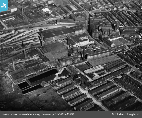
EPW024500 ENGLAND (1928). Fieldhead Worsted Mills, City Roads Goods Station and nearby mills and dye works, Bradford, 1928. This image has been produced from a print.
© Copyright OpenStreetMap contributors and licensed by the OpenStreetMap Foundation. 2026. Cartography is licensed as CC BY-SA.
Nearby Images (5)
EPW024500

EPW024498

EPW052160

EPW051229

EPW045333

Details
| Title | [EPW024500] Fieldhead Worsted Mills, City Roads Goods Station and nearby mills and dye works, Bradford, 1928. This image has been produced from a print. |
| Reference | EPW024500 |
| Date | September-1928 |
| Link | |
| Place name | BRADFORD |
| Parish | |
| District | |
| Country | ENGLAND |
| Easting / Northing | 415109, 433325 |
| Longitude / Latitude | -1.7706013713835, 53.795799052812 |
| National Grid Reference | SE151333 |
Pins
Be the first to add a comment to this image!