
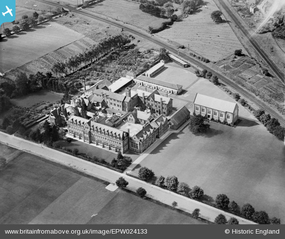
EPW024133 ENGLAND (1928). Dean Close Memorial School, Cheltenham, 1928
© Copyright OpenStreetMap contributors and licensed by the OpenStreetMap Foundation. 2026. Cartography is licensed as CC BY-SA.
Nearby Images (13)
EPW024133

EPR000394

EPW048186

EPW000172

EPW000176

EPW048189

EPW048187

EPW048182

EPW048183

EPW048184

EPW048188

EPW048185

EPW048202

Details
| Title | [EPW024133] Dean Close Memorial School, Cheltenham, 1928 |
| Reference | EPW024133 |
| Date | September-1928 |
| Link | |
| Place name | CHELTENHAM |
| Parish | |
| District | |
| Country | ENGLAND |
| Easting / Northing | 392885, 221596 |
| Longitude / Latitude | -2.1034031522882, 51.892432773965 |
| National Grid Reference | SO929216 |
Pins

Vidcapper |
Monday 1st of December 2014 03:13:19 PM |