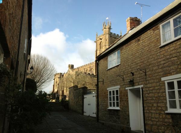
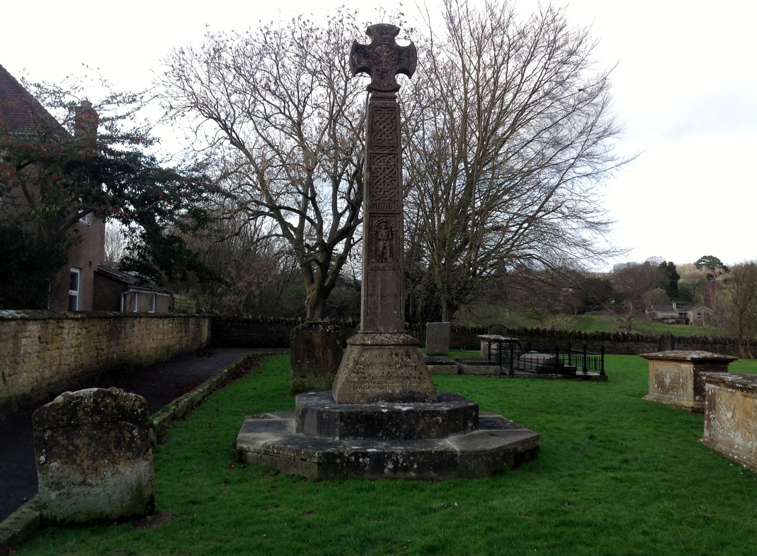
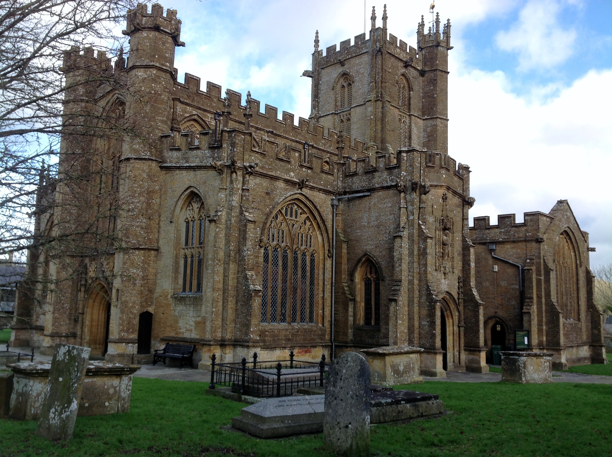
EPW024025 ENGLAND (1928). St Bartholomew's Church, Crewkerne, 1928

© Copyright OpenStreetMap contributors and licensed by the OpenStreetMap Foundation. 2024. Cartography is licensed as CC BY-SA.
Nearby Images (5)
EPW024025

EPW024019

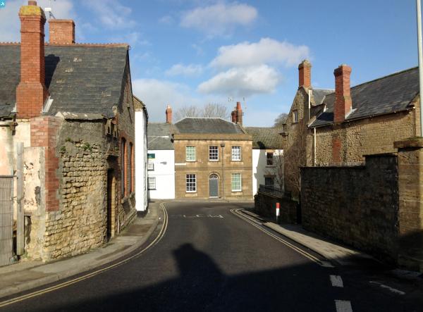
EPW024020

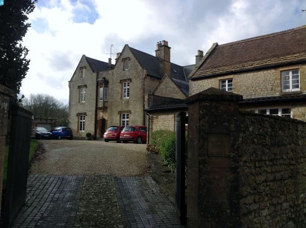
EPW024021

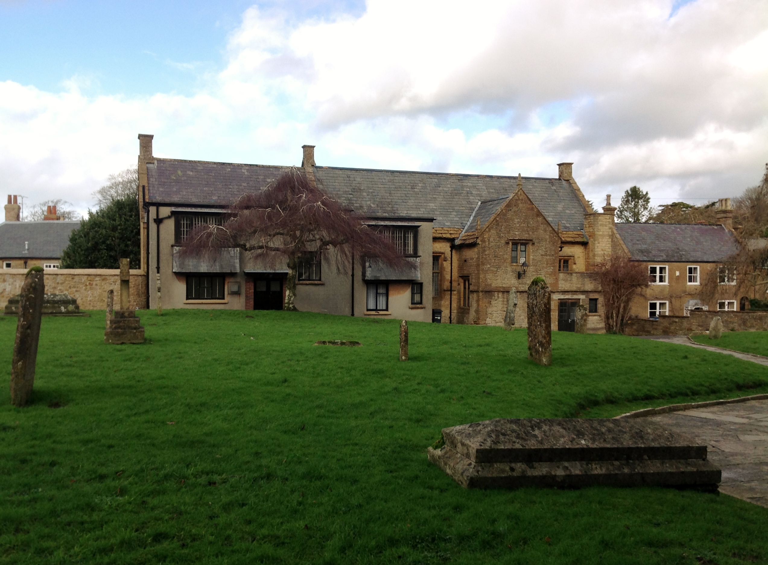
EPW024022

Details
| Title | [EPW024025] St Bartholomew's Church, Crewkerne, 1928 |
| Reference | EPW024025 |
| Date | September-1928 |
| Link | |
| Place name | CREWKERNE |
| Parish | CREWKERNE |
| District | |
| Country | ENGLAND |
| Easting / Northing | 343951, 109788 |
| Longitude / Latitude | -2.7968664167043, 50.884305205481 |
| National Grid Reference | ST440098 |
Pins
 JimEff |
Sunday 20th of October 2024 11:43:49 AM | |
JimEff |
Sunday 20th of October 2024 11:42:56 AM | |
 Class31 |
Monday 3rd of February 2014 09:43:17 AM | |
Class31 |
Monday 3rd of February 2014 09:38:58 AM | |
Class31 |
Monday 3rd of February 2014 09:37:09 AM | |
Class31 |
Monday 3rd of February 2014 09:36:06 AM | |
Class31 |
Monday 3rd of February 2014 09:34:50 AM |