
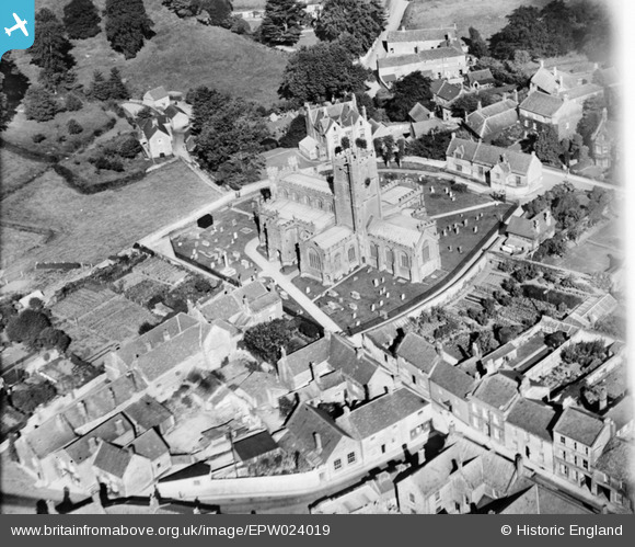
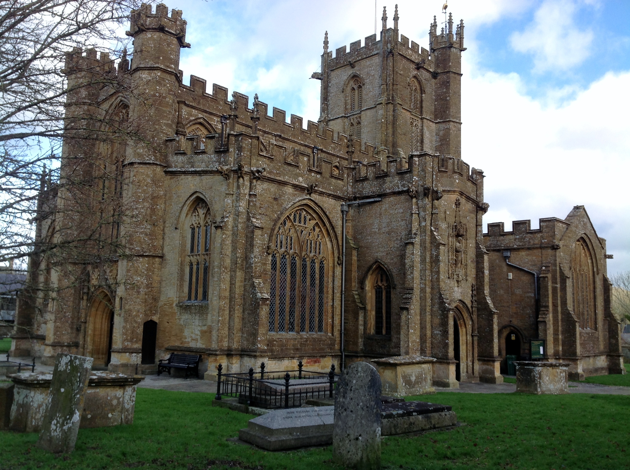
EPW024019 ENGLAND (1928). St Bartholomew's Church, Crewkerne, 1928
© Copyright OpenStreetMap contributors and licensed by the OpenStreetMap Foundation. 2025. Cartography is licensed as CC BY-SA.
Nearby Images (5)
EPW024019

EPW024020

EPW024025

EPW024021

EPW024022

Details
| Title | [EPW024019] St Bartholomew's Church, Crewkerne, 1928 |
| Reference | EPW024019 |
| Date | September-1928 |
| Link | |
| Place name | CREWKERNE |
| Parish | CREWKERNE |
| District | |
| Country | ENGLAND |
| Easting / Northing | 343959, 109784 |
| Longitude / Latitude | -2.796752076366, 50.884270011434 |
| National Grid Reference | ST440098 |
Pins
User Comment Contributions
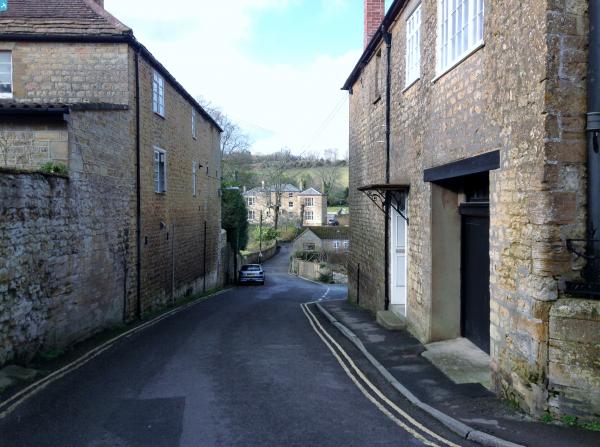
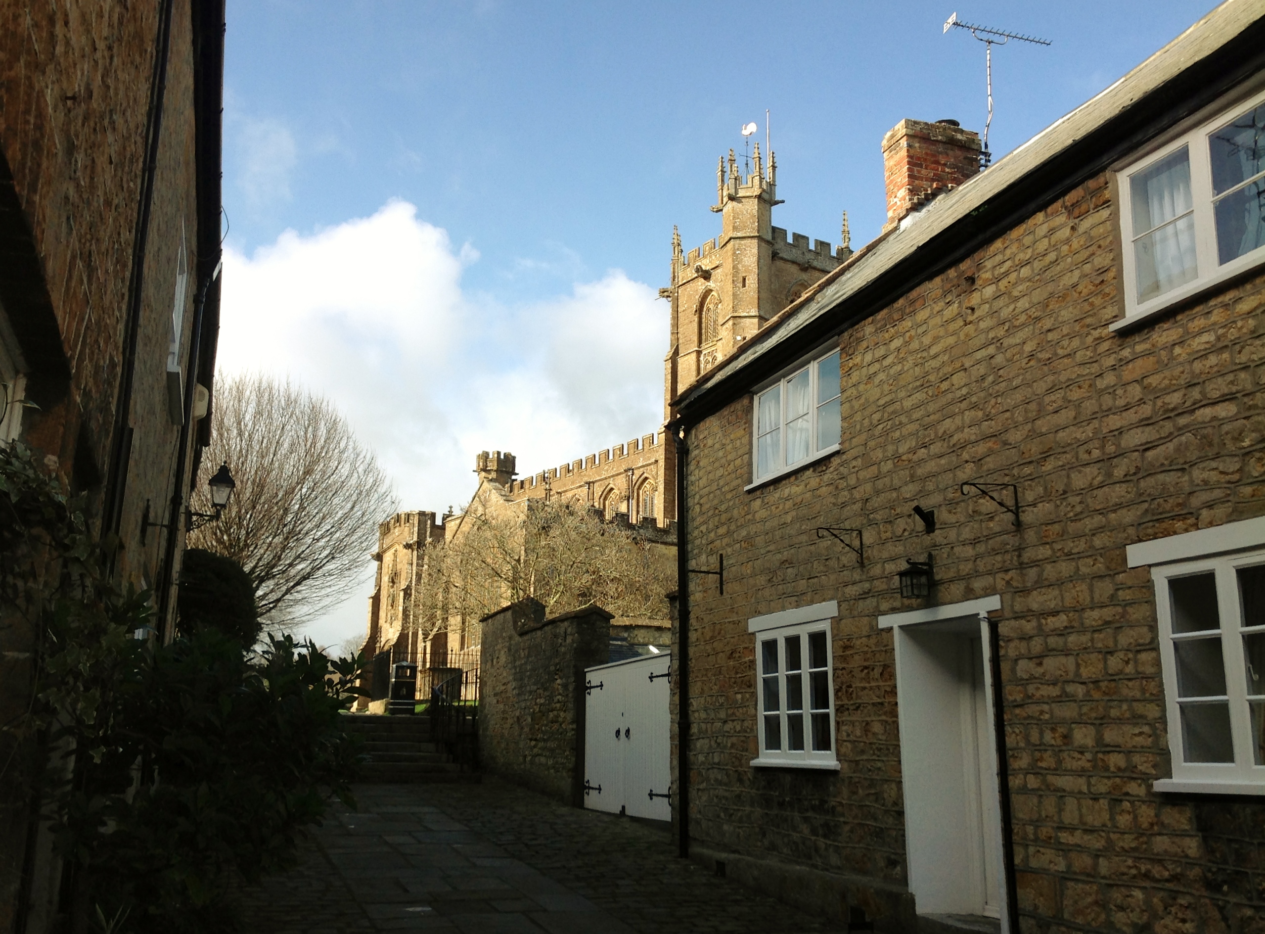 Church Street 01/02/2014 |
 Class31 |
Sunday 2nd of February 2014 05:59:24 PM |
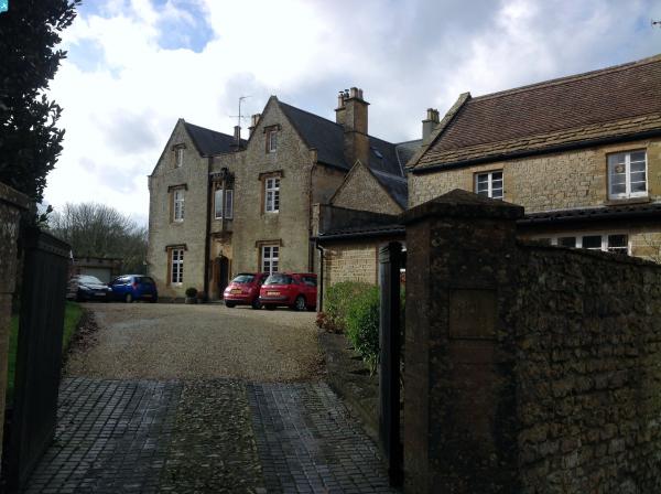
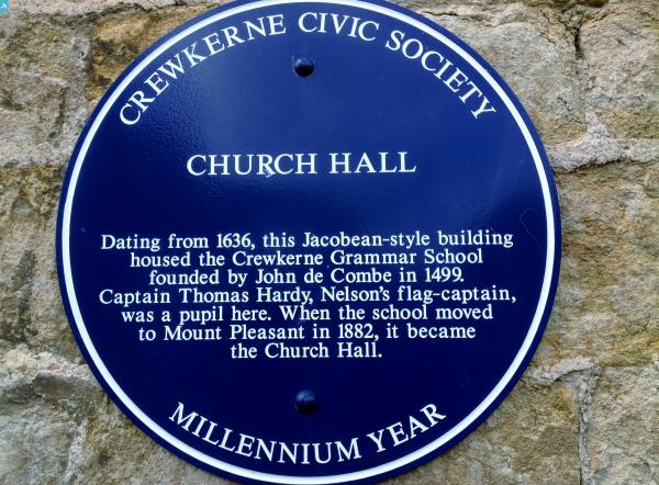
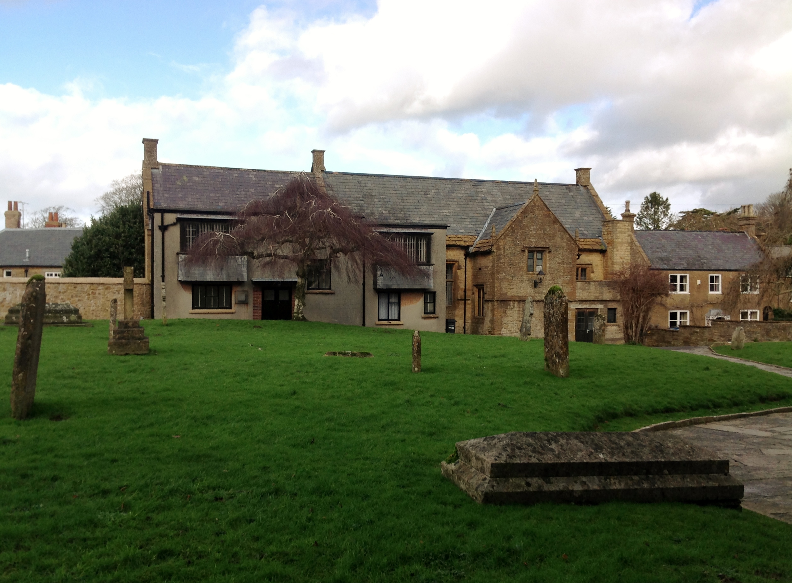 Church Hall 01/02/2014 |
Class31 |
Sunday 2nd of February 2014 05:56:29 PM |
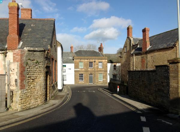
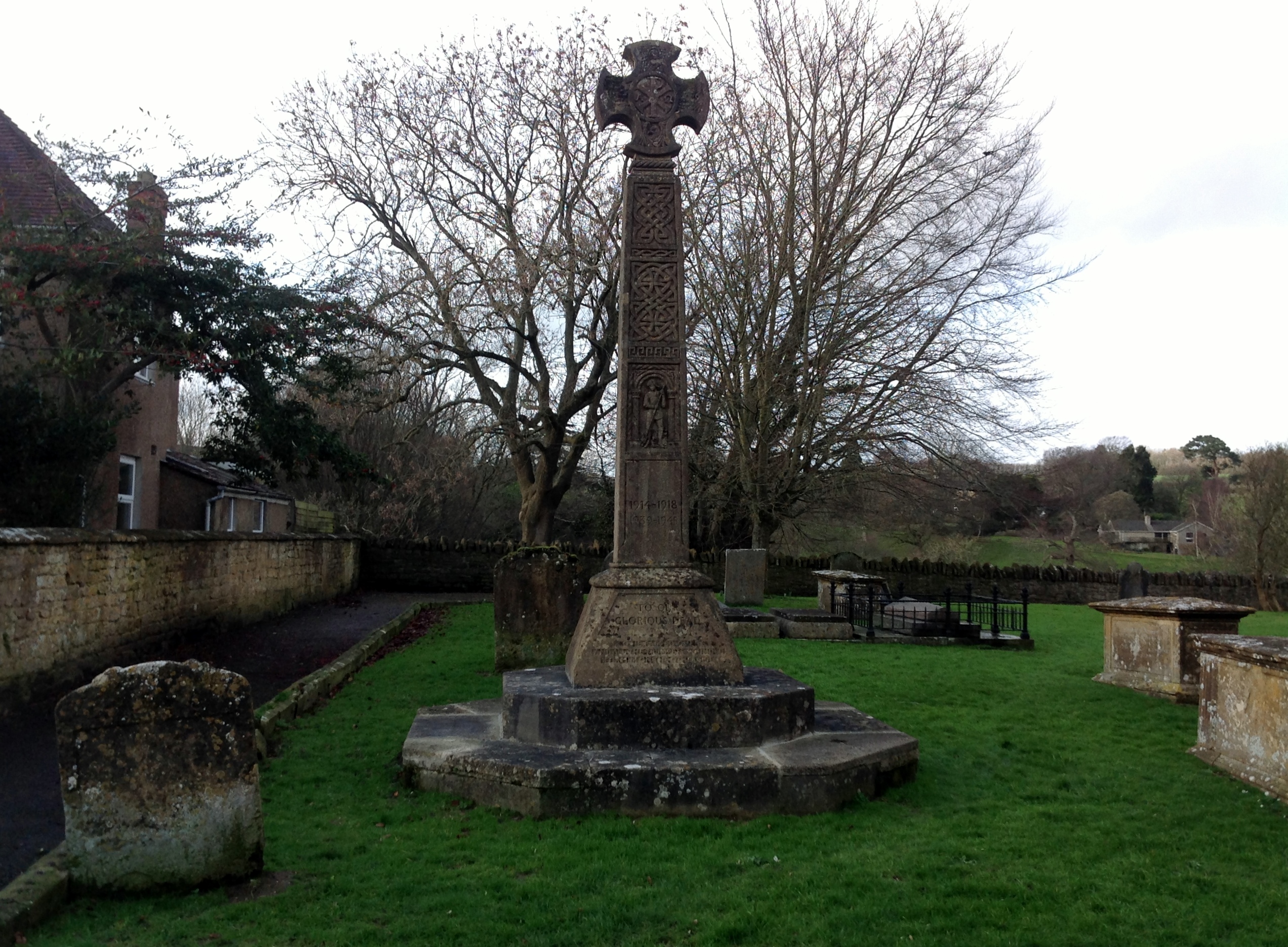 The Old War Memorial 01/02/2014 |
Class31 |
Sunday 2nd of February 2014 05:49:25 PM |
 St. Bartholomew's Church 01/02/2014 |
Class31 |
Sunday 2nd of February 2014 05:40:23 PM |