
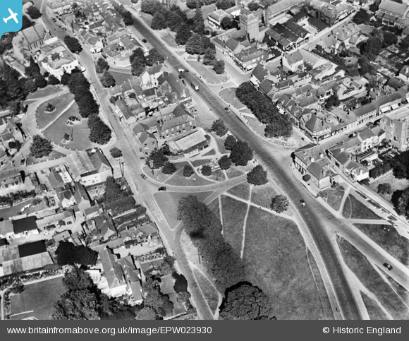
EPW023930 ENGLAND (1928). Leyton Green and the High Street, Harpenden, 1928
© Copyright OpenStreetMap contributors and licensed by the OpenStreetMap Foundation. 2026. Cartography is licensed as CC BY-SA.
Nearby Images (5)
EPW023930

EPW023931

EAW047644

EPW023932

EPW023925

Details
| Title | [EPW023930] Leyton Green and the High Street, Harpenden, 1928 |
| Reference | EPW023930 |
| Date | September-1928 |
| Link | |
| Place name | HARPENDEN |
| Parish | HARPENDEN |
| District | |
| Country | ENGLAND |
| Easting / Northing | 513463, 214150 |
| Longitude / Latitude | -0.35383966400049, 51.814002547404 |
| National Grid Reference | TL135142 |
Pins

John W |
Wednesday 8th of April 2020 09:03:46 PM | |

Marc Manders Evangeli |
Thursday 1st of August 2013 02:17:23 AM | |
|
Marc Manders Evangeli |
Thursday 1st of August 2013 02:15:06 AM | |
|
Marc Manders Evangeli |
Tuesday 30th of July 2013 02:47:01 AM | |
|
Marc Manders Evangeli |
Tuesday 30th of July 2013 02:42:02 AM | |
Was the A6, now the A1081 |
John W |
Sunday 5th of March 2017 07:28:19 PM |
|
Marc Manders Evangeli |
Tuesday 30th of July 2013 02:41:26 AM | |
|
Marc Manders Evangeli |
Tuesday 30th of July 2013 02:40:26 AM | |
|
billb |
Wednesday 1st of August 2012 08:27:34 PM |

