
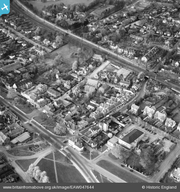
EAW047644 ENGLAND (1952). Harpenden Public Halls and Vaughan Road, Harpenden, 1952
© Copyright OpenStreetMap contributors and licensed by the OpenStreetMap Foundation. 2026. Cartography is licensed as CC BY-SA.
Nearby Images (5)
EAW047644

EPW023930

EPW023932

EPW023931

EPW023925

Details
| Title | [EAW047644] Harpenden Public Halls and Vaughan Road, Harpenden, 1952 |
| Reference | EAW047644 |
| Date | 27-October-1952 |
| Link | |
| Place name | HARPENDEN |
| Parish | HARPENDEN |
| District | |
| Country | ENGLAND |
| Easting / Northing | 513566, 214268 |
| Longitude / Latitude | -0.35230727999802, 51.815042244896 |
| National Grid Reference | TL136143 |
Pins

Matt Aldred edob.mattaldred.com |
Sunday 3rd of October 2021 11:28:52 AM | |

John Wass |
Friday 20th of October 2017 02:22:05 PM | |
|
John W |
Sunday 5th of March 2017 07:35:04 PM | |
|
John W |
Sunday 5th of March 2017 07:33:47 PM | |
|
John W |
Sunday 5th of March 2017 07:33:11 PM | |
|
John W |
Sunday 5th of March 2017 07:32:44 PM | |
|
John W |
Thursday 1st of September 2016 09:36:19 PM | |
|
John Wass |
Friday 8th of August 2014 09:14:05 PM | |
Down Slow line - left hand arm controls trains crossing over to the Down Fast line a little north of the bridge. |
John W |
Thursday 1st of September 2016 09:35:09 PM |