
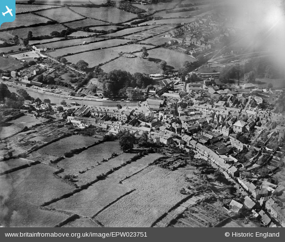
EPW023751 ENGLAND (1928). Square's Quay and environs, Kingsbridge, 1928
© Copyright OpenStreetMap contributors and licensed by the OpenStreetMap Foundation. 2025. Cartography is licensed as CC BY-SA.
Nearby Images (7)
EPW023751

EPW023758

EPW033092

EPW033091

EPW023749

EPW033093

EPW033144

Details
| Title | [EPW023751] Square's Quay and environs, Kingsbridge, 1928 |
| Reference | EPW023751 |
| Date | October-1928 |
| Link | |
| Place name | KINGSBRIDGE |
| Parish | KINGSBRIDGE |
| District | |
| Country | ENGLAND |
| Easting / Northing | 273530, 44123 |
| Longitude / Latitude | -3.7753469340531, 50.282881990498 |
| National Grid Reference | SX735441 |
Pins

MB |
Thursday 8th of November 2012 11:24:32 PM | |
|
MB |
Thursday 8th of November 2012 11:22:42 PM | |
|
MB |
Thursday 8th of November 2012 11:21:10 PM | |
|
MB |
Thursday 8th of November 2012 11:20:06 PM | |
|
MB |
Thursday 8th of November 2012 11:18:56 PM | |
|
MB |
Thursday 8th of November 2012 11:17:55 PM | |
|
MB |
Thursday 8th of November 2012 11:17:02 PM | |
|
MB |
Thursday 8th of November 2012 11:16:25 PM | |
|
MB |
Thursday 8th of November 2012 11:14:15 PM |