
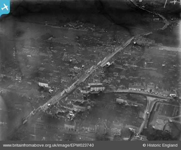
EPW023740 ENGLAND (1928). High Street, Coleshill, 1928
© Copyright OpenStreetMap contributors and licensed by the OpenStreetMap Foundation. 2025. Cartography is licensed as CC BY-SA.
Nearby Images (6)
EPW023740

EAW024255

EAW024254

EPW023739

EAW024256

EAW024257

Details
| Title | [EPW023740] High Street, Coleshill, 1928 |
| Reference | EPW023740 |
| Date | September-1928 |
| Link | |
| Place name | COLESHILL |
| Parish | COLESHILL |
| District | |
| Country | ENGLAND |
| Easting / Northing | 419943, 289225 |
| Longitude / Latitude | -1.7061855064776, 52.500195568697 |
| National Grid Reference | SP199892 |
Pins

Ginettaman |
Monday 6th of October 2014 05:29:07 PM | |
|
CofB27 |
Saturday 30th of June 2012 08:26:15 PM |