
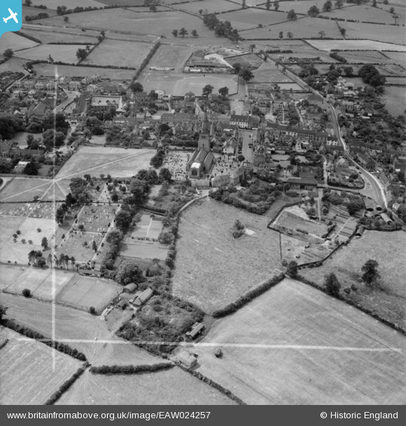
EAW024257 ENGLAND (1949). St Peter and St Paul's Church and the town, Coleshill, 1949. This image was marked by Aerofilms Ltd for photo editing.
© Copyright OpenStreetMap contributors and licensed by the OpenStreetMap Foundation. 2025. Cartography is licensed as CC BY-SA.
Nearby Images (6)
EAW024257

EAW024256

EAW024254

EAW024255

EPW023739

EPW023740

Details
| Title | [EAW024257] St Peter and St Paul's Church and the town, Coleshill, 1949. This image was marked by Aerofilms Ltd for photo editing. |
| Reference | EAW024257 |
| Date | 27-June-1949 |
| Link | |
| Place name | COLESHILL |
| Parish | COLESHILL |
| District | |
| Country | ENGLAND |
| Easting / Northing | 420180, 289085 |
| Longitude / Latitude | -1.702702394963, 52.498928128195 |
| National Grid Reference | SP202891 |
Pins
Be the first to add a comment to this image!