
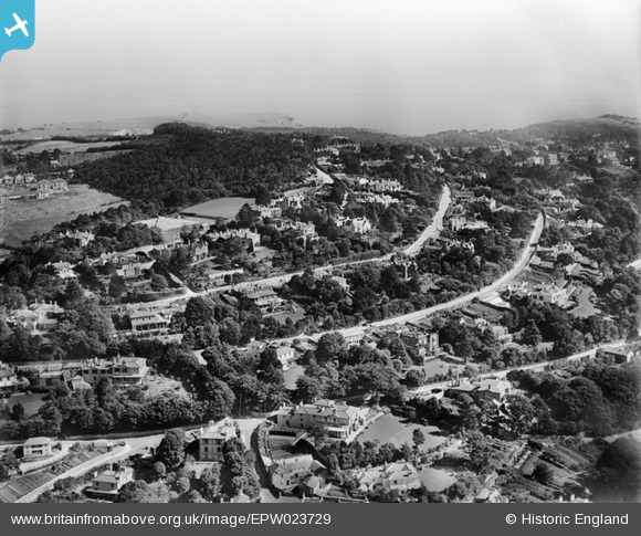
EPW023729 ENGLAND (1928). Warberry Hill and environs, Torquay, 1928
© Copyright OpenStreetMap contributors and licensed by the OpenStreetMap Foundation. 2026. Cartography is licensed as CC BY-SA.
Nearby Images (6)
EPW023729

EAW014981

EAW014983

EAW014982

EAW014979

EAW014980

Details
| Title | [EPW023729] Warberry Hill and environs, Torquay, 1928 |
| Reference | EPW023729 |
| Date | September-1928 |
| Link | |
| Place name | TORQUAY |
| Parish | |
| District | |
| Country | ENGLAND |
| Easting / Northing | 292188, 64080 |
| Longitude / Latitude | -3.5192584917185, 50.466021627019 |
| National Grid Reference | SX922641 |
Pins

sweetpeagrower |
Tuesday 24th of July 2012 02:44:17 PM | |
|
sweetpeagrower |
Tuesday 24th of July 2012 02:43:20 PM | |
|
sweetpeagrower |
Tuesday 24th of July 2012 02:41:59 PM |