
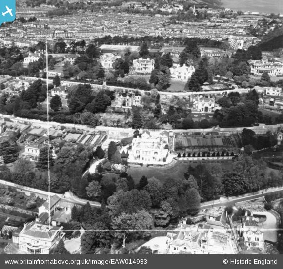
EAW014983 ENGLAND (1948). Normount and adjacent properties on Middle Warberry Road, Torquay, 1948. This image has been produced from a print marked by Aerofilms Ltd for photo editing.
© Copyright OpenStreetMap contributors and licensed by the OpenStreetMap Foundation. 2026. Cartography is licensed as CC BY-SA.
Nearby Images (14)
EAW014983

EAW014979

EAW014982

EAW014981

EAW014980

EPW023729

EAW007769

EAW007767

EAW007768

EAW007764

EAW007766

EAW007763

EAW007765

EAW007762

Details
| Title | [EAW014983] Normount and adjacent properties on Middle Warberry Road, Torquay, 1948. This image has been produced from a print marked by Aerofilms Ltd for photo editing. |
| Reference | EAW014983 |
| Date | 27-April-1948 |
| Link | |
| Place name | TORQUAY |
| Parish | |
| District | |
| Country | ENGLAND |
| Easting / Northing | 292350, 64052 |
| Longitude / Latitude | -3.5169684261999, 50.465799651874 |
| National Grid Reference | SX924641 |
Pins
Be the first to add a comment to this image!