
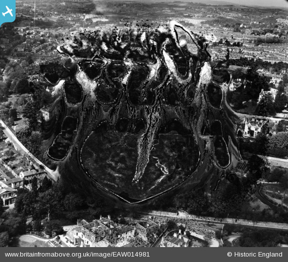
EAW014981 ENGLAND (1948). Lower Warberry Road and environs, Torquay, from the south-east, 1948. This image has been produced from a damaged negative.
© Copyright OpenStreetMap contributors and licensed by the OpenStreetMap Foundation. 2026. Cartography is licensed as CC BY-SA.
Nearby Images (13)
EAW014981

EAW014982

EAW014979

EAW014980

EAW014983

EPW023729

EAW007769

EAW007764

EAW007767

EAW007766

EAW007768

EAW007763

EAW007765

Details
| Title | [EAW014981] Lower Warberry Road and environs, Torquay, from the south-east, 1948. This image has been produced from a damaged negative. |
| Reference | EAW014981 |
| Date | 27-April-1948 |
| Link | |
| Place name | TORQUAY |
| Parish | |
| District | |
| Country | ENGLAND |
| Easting / Northing | 292326, 63999 |
| Longitude / Latitude | -3.5172912485672, 50.465318724041 |
| National Grid Reference | SX923640 |
Pins

Class31 |
Tuesday 1st of April 2014 12:56:48 PM | |
|
Class31 |
Tuesday 1st of April 2014 12:54:14 PM |