
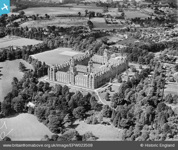
EPW023508 ENGLAND (1928). Royal Holloway College, Egham, 1928
© Copyright OpenStreetMap contributors and licensed by the OpenStreetMap Foundation. 2026. Cartography is licensed as CC BY-SA.
Nearby Images (9)
EPW023508

 0°
0m
0°
0m
EPW023506
 118°
17m
118°
17m
EPW023507
 249°
17m
249°
17m
EAW021535
 328°
26m
328°
26m
EAW021537
 162°
26m
162°
26m
EAW021536
 221°
34m
221°
34m
EAW021534
 5°
47m
5°
47m
EPW008720
 228°
48m
228°
48m
EPW026268
 197°
60m
197°
60m
Details
| Title | [EPW023508] Royal Holloway College, Egham, 1928 |
| Reference | EPW023508 |
| Date | September-1928 |
| Link | |
| Place name | EGHAM |
| Parish | |
| District | |
| Country | ENGLAND |
| Easting / Northing | 499754, 170500 |
| Longitude / Latitude | -0.56509326578552, 51.424227387778 |
| National Grid Reference | SU998705 |
Pins
 This area of Englefield Green was once a sandpit This area of Englefield Green was once a sandpit |

Ellensdottir |
Sunday 1st of September 2013 09:35:29 PM |
|
Ellensdottir |
Sunday 1st of September 2013 09:34:29 PM | |
| St. Jude's Church and Cemetery |
Ellensdottir |
Sunday 1st of September 2013 09:33:04 PM |