
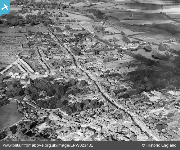
EPW023431 ENGLAND (1928). Alton town centre and environs, Alton, 1928
© Copyright OpenStreetMap contributors and licensed by the OpenStreetMap Foundation. 2025. Cartography is licensed as CC BY-SA.
Nearby Images (4)
EPW023431

EPW032320

EPW032321

EPW023426

Details
| Title | [EPW023431] Alton town centre and environs, Alton, 1928 |
| Reference | EPW023431 |
| Date | September-1928 |
| Link | |
| Place name | ALTON |
| Parish | ALTON |
| District | |
| Country | ENGLAND |
| Easting / Northing | 471936, 139522 |
| Longitude / Latitude | -0.97139859126924, 51.149907505424 |
| National Grid Reference | SU719395 |
Pins

mikeybikey |
Thursday 9th of April 2015 06:44:39 PM | |
|
mikeybikey |
Thursday 9th of April 2015 06:43:15 PM | |
|
mikeybikey |
Thursday 9th of April 2015 06:41:31 PM | |
|
Sweet Pete |
Friday 23rd of January 2015 09:07:26 PM | |
|
pd brambles |
Tuesday 12th of November 2013 09:54:19 PM | |
|
pd brambles |
Tuesday 12th of November 2013 09:53:37 PM | |
|
pd brambles |
Tuesday 12th of November 2013 09:50:18 PM | |
|
pd brambles |
Tuesday 12th of November 2013 09:49:10 PM | |
|
pd brambles |
Tuesday 12th of November 2013 09:48:37 PM | |
|
flubber |
Wednesday 12th of December 2012 06:54:11 PM |