
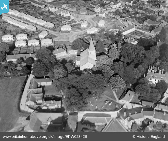
EPW023426 ENGLAND (1928). St Lawrence's Church, Alton, 1928
© Copyright OpenStreetMap contributors and licensed by the OpenStreetMap Foundation. 2025. Cartography is licensed as CC BY-SA.
Nearby Images (3)
EPW023426

EPW032321

EPW023431

Details
| Title | [EPW023426] St Lawrence's Church, Alton, 1928 |
| Reference | EPW023426 |
| Date | September-1928 |
| Link | |
| Place name | ALTON |
| Parish | ALTON |
| District | |
| Country | ENGLAND |
| Easting / Northing | 471702, 139601 |
| Longitude / Latitude | -0.9747282037432, 51.150647214399 |
| National Grid Reference | SU717396 |
