
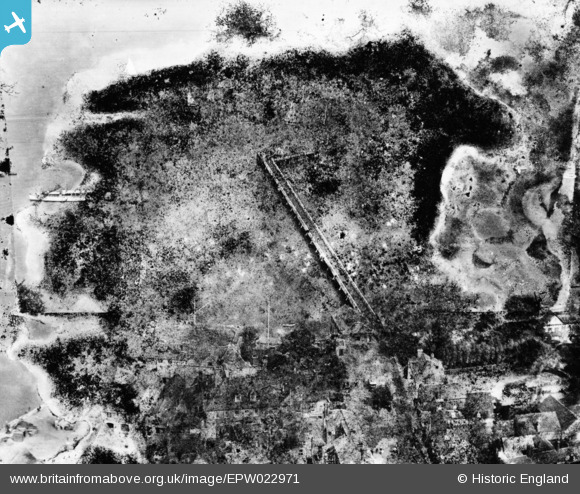
EPW022971 ENGLAND (1928). The pier, Yarmouth, 1928. This image has been produced from a damaged print.
© Copyright OpenStreetMap contributors and licensed by the OpenStreetMap Foundation. 2026. Cartography is licensed as CC BY-SA.
Nearby Images (5)
EPW022971

EPW000501

EPW022972

EPW022974

EPW022973

Details
| Title | [EPW022971] The pier, Yarmouth, 1928. This image has been produced from a damaged print. |
| Reference | EPW022971 |
| Date | August-1928 |
| Link | |
| Place name | YARMOUTH |
| Parish | YARMOUTH |
| District | |
| Country | ENGLAND |
| Easting / Northing | 435428, 89911 |
| Longitude / Latitude | -1.4982111381609, 50.707179564706 |
| National Grid Reference | SZ354899 |
Pins
Be the first to add a comment to this image!