
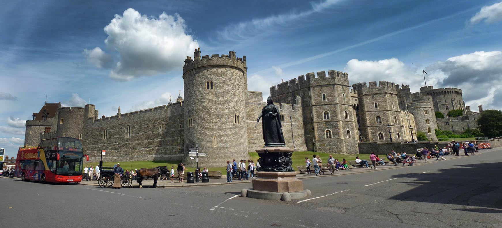
EPW022600 ENGLAND (1928). Windsor Castle, Windsor, from the south-east, 1928

© Copyright OpenStreetMap contributors and licensed by the OpenStreetMap Foundation. 2026. Cartography is licensed as CC BY-SA.
Nearby Images (24)
EPW022600

EPW005693

EAW003705

EPW022598

EAW006324

EAW003780

EPW000034

EPW022601

EPW046519

EAW006323

EAW003706

EAW038574

EPW034873

EPW046517

EPW053886

EAW003704

EPW046520

EPW022599

EAW021007

EAW004840

EPW012469

EPW046518

EPW053887

EAW053001

Details
| Title | [EPW022600] Windsor Castle, Windsor, from the south-east, 1928 |
| Reference | EPW022600 |
| Date | 11-August-1928 |
| Link | |
| Place name | WINDSOR |
| Parish | |
| District | |
| Country | ENGLAND |
| Easting / Northing | 497284, 176935 |
| Longitude / Latitude | -0.59884113324352, 51.482506788764 |
| National Grid Reference | SU973769 |
Pins
Be the first to add a comment to this image!
User Comment Contributions
Windsor Castle |

Alan McFaden |
Thursday 4th of December 2014 11:22:30 AM |