
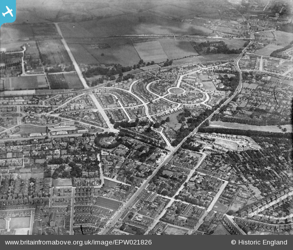
EPW021826 ENGLAND (1928). Collin Green and Mansfield Road, Sherwood, 1928
© Copyright OpenStreetMap contributors and licensed by the OpenStreetMap Foundation. 2026. Cartography is licensed as CC BY-SA.
Nearby Images (5)
EPW021826

EPW021828

EPW021827

EPW021825

EPW021824

Details
| Title | [EPW021826] Collin Green and Mansfield Road, Sherwood, 1928 |
| Reference | EPW021826 |
| Date | June-1928 |
| Link | |
| Place name | SHERWOOD |
| Parish | |
| District | |
| Country | ENGLAND |
| Easting / Northing | 457447, 343554 |
| Longitude / Latitude | -1.1441792277246, 52.985930886788 |
| National Grid Reference | SK574436 |
Pins

SB146 |
Thursday 18th of August 2016 05:04:44 PM | |
|
Matt Wilson |
Wednesday 5th of August 2015 11:06:31 PM | |
|
Matt Wilson |
Wednesday 5th of August 2015 11:03:39 PM | |
|
Matt Wilson |
Wednesday 5th of August 2015 11:00:30 PM | |
|
Matt Wilson |
Wednesday 5th of August 2015 10:58:49 PM | |
|
Matt Wilson |
Wednesday 5th of August 2015 10:54:37 PM | |
|
Matt Wilson |
Wednesday 5th of August 2015 10:53:29 PM | |
|
Matt Wilson |
Wednesday 5th of August 2015 10:52:10 PM | |
|
Matt Wilson |
Wednesday 5th of August 2015 10:50:49 PM | |
|
Matt Wilson |
Wednesday 5th of August 2015 10:42:46 PM | |
|
Matt Wilson |
Wednesday 5th of August 2015 10:40:55 PM | |
|
Matt Wilson |
Wednesday 5th of August 2015 10:38:24 PM |