
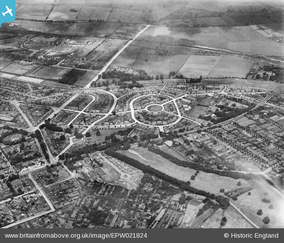
EPW021824 ENGLAND (1928). Collin Green and surroundings, Sherwood, 1928
© Copyright OpenStreetMap contributors and licensed by the OpenStreetMap Foundation. 2026. Cartography is licensed as CC BY-SA.
Nearby Images (5)
EPW021824

EPW021825

EPW021827

EPW021828

EPW021826

Details
| Title | [EPW021824] Collin Green and surroundings, Sherwood, 1928 |
| Reference | EPW021824 |
| Date | June-1928 |
| Link | |
| Place name | SHERWOOD |
| Parish | |
| District | |
| Country | ENGLAND |
| Easting / Northing | 457539, 343736 |
| Longitude / Latitude | -1.1427764286162, 52.987557054439 |
| National Grid Reference | SK575437 |
Pins

KC |
Sunday 16th of July 2023 10:37:00 AM | |
|
spc |
Sunday 24th of November 2019 04:38:03 PM | |
|
spc |
Sunday 24th of November 2019 04:36:59 PM | |
|
spc |
Sunday 24th of November 2019 04:35:48 PM | |
|
spc |
Sunday 24th of November 2019 04:33:20 PM | |
|
Matt Wilson |
Wednesday 5th of August 2015 11:08:44 PM | |
|
Matt Wilson |
Wednesday 5th of August 2015 11:08:08 PM |