
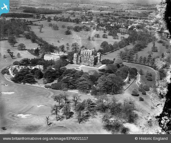
EPW021117 ENGLAND (1928). Wollaton Hall and Wollaton Deer Park, Wollaton, from the east, 1928
© Copyright OpenStreetMap contributors and licensed by the OpenStreetMap Foundation. 2026. Cartography is licensed as CC BY-SA.
Nearby Images (4)
EPW021117

EPW021118

EPW021116

EPW019377

Details
| Title | [EPW021117] Wollaton Hall and Wollaton Deer Park, Wollaton, from the east, 1928 |
| Reference | EPW021117 |
| Date | April-1928 |
| Link | |
| Place name | WOLLATON |
| Parish | |
| District | |
| Country | ENGLAND |
| Easting / Northing | 453378, 339165 |
| Longitude / Latitude | -1.2055145738897, 52.946897239088 |
| National Grid Reference | SK534392 |
Pins

Class31 |
Monday 14th of April 2014 02:26:21 PM |

User Comment Contributions
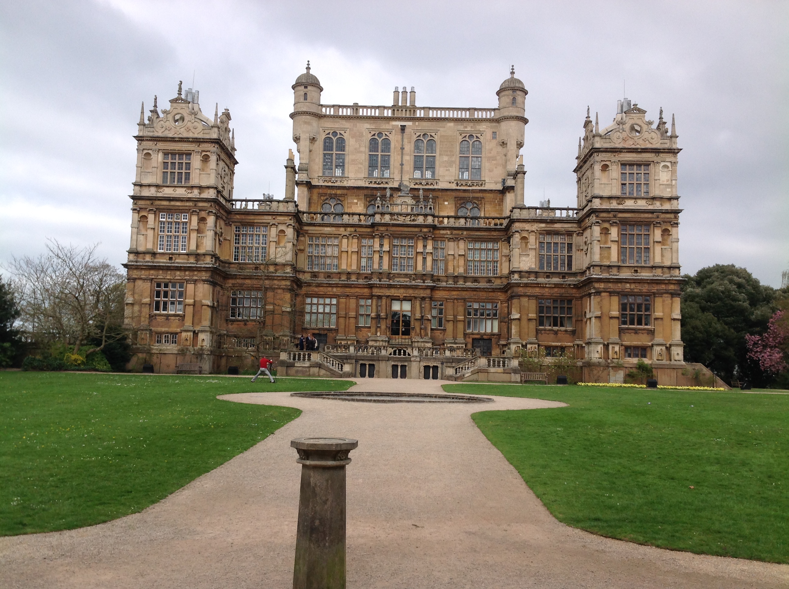
Wollaton Hall 13/04/2014 |
Class31 |
Monday 14th of April 2014 02:24:41 PM |