
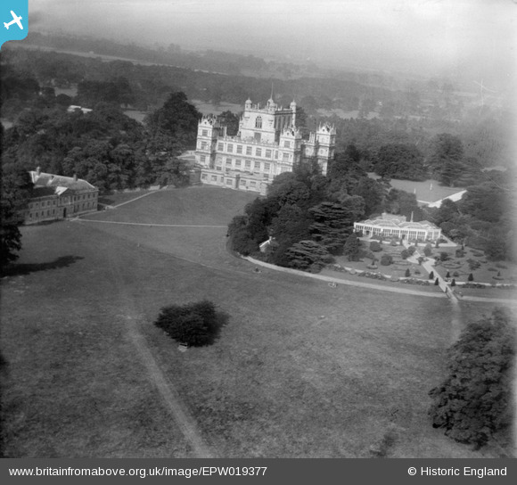
EPW019377 ENGLAND (1927). Wollaton Hall and Park, Wollaton, 1927
© Copyright OpenStreetMap contributors and licensed by the OpenStreetMap Foundation. 2026. Cartography is licensed as CC BY-SA.
Nearby Images (4)
EPW019377

EPW021116

EPW021118

EPW021117

Details
| Title | [EPW019377] Wollaton Hall and Park, Wollaton, 1927 |
| Reference | EPW019377 |
| Date | September-1927 |
| Link | |
| Place name | WOLLATON |
| Parish | |
| District | |
| Country | ENGLAND |
| Easting / Northing | 453172, 339153 |
| Longitude / Latitude | -1.2085823548349, 52.9468098207 |
| National Grid Reference | SK532392 |
Pins
Be the first to add a comment to this image!