
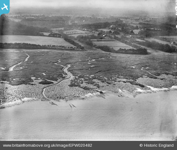
EPW020482 ENGLAND (1928). Southampton Water mud flats, Frostlane, from the north-east, 1928
© Copyright OpenStreetMap contributors and licensed by the OpenStreetMap Foundation. 2026. Cartography is licensed as CC BY-SA.
Nearby Images (4)
EPW020482

EPW020460

EPW020467

EPW020481

Details
| Title | [EPW020482] Southampton Water mud flats, Frostlane, from the north-east, 1928 |
| Reference | EPW020482 |
| Date | 16-March-1928 |
| Link | |
| Place name | FROSTLANE |
| Parish | FAWLEY |
| District | |
| Country | ENGLAND |
| Easting / Northing | 444041, 106978 |
| Longitude / Latitude | -1.3741812559736, 50.860075550954 |
| National Grid Reference | SU440070 |
Pins

Scimitar |
Tuesday 20th of August 2013 06:25:45 PM | |
|
bingram1970 |
Sunday 1st of July 2012 11:22:16 PM | |
|
bingram1970 |
Sunday 1st of July 2012 11:21:31 PM |