
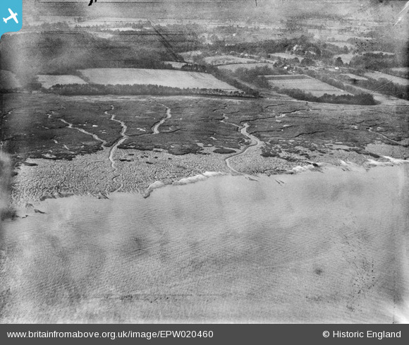
EPW020460 ENGLAND (1928). Southampton Water mud flats, Langdown, from the north-east, 1928
© Copyright OpenStreetMap contributors and licensed by the OpenStreetMap Foundation. 2026. Cartography is licensed as CC BY-SA.
Nearby Images (3)
EPW020460

EPW020482

EPW020481

Details
| Title | [EPW020460] Southampton Water mud flats, Langdown, from the north-east, 1928 |
| Reference | EPW020460 |
| Date | 16-March-1928 |
| Link | |
| Place name | LANGDOWN |
| Parish | FAWLEY |
| District | |
| Country | ENGLAND |
| Easting / Northing | 444102, 106954 |
| Longitude / Latitude | -1.3733173997513, 50.859855069355 |
| National Grid Reference | SU441070 |
Pins

bingram1970 |
Sunday 8th of July 2012 05:40:41 PM | |
|
bingram1970 |
Sunday 8th of July 2012 05:39:54 PM |