
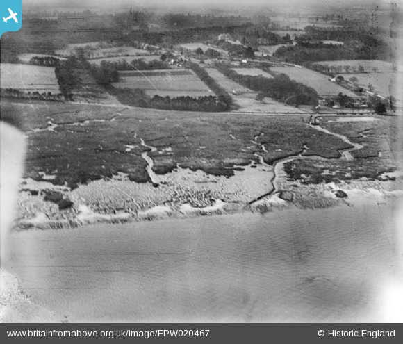
EPW020467 ENGLAND (1928). Southampton Water mud flats, Langdown, from the north-east, 1928
© Copyright OpenStreetMap contributors and licensed by the OpenStreetMap Foundation. 2026. Cartography is licensed as CC BY-SA.
Nearby Images (3)
EPW020467

EPW020459

EPW020482

Details
| Title | [EPW020467] Southampton Water mud flats, Langdown, from the north-east, 1928 |
| Reference | EPW020467 |
| Date | 16-March-1928 |
| Link | |
| Place name | LANGDOWN |
| Parish | FAWLEY |
| District | |
| Country | ENGLAND |
| Easting / Northing | 443842, 107122 |
| Longitude / Latitude | -1.3769915926864, 50.86138566431 |
| National Grid Reference | SU438071 |
Pins

bingram1970 |
Sunday 15th of July 2012 10:15:18 PM | |
|
bingram1970 |
Sunday 15th of July 2012 10:13:46 PM |