
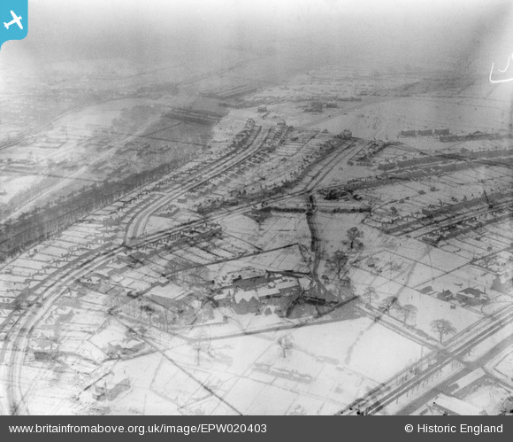
EPW020403 ENGLAND (1928). Housing in the snow around Dalewood Road, Beauchief, 1928. Double exposed negative.
© Copyright OpenStreetMap contributors and licensed by the OpenStreetMap Foundation. 2026. Cartography is licensed as CC BY-SA.
Nearby Images (10)
EPW020403

EAW037100

EPW020399

EAW037099

EPW020384

EPW020381

EAW037098

EPW020383

EAW037101

EPW020404

Details
| Title | [EPW020403] Housing in the snow around Dalewood Road, Beauchief, 1928. Double exposed negative. |
| Reference | EPW020403 |
| Date | March-1928 |
| Link | |
| Place name | BEAUCHIEF |
| Parish | |
| District | |
| Country | ENGLAND |
| Easting / Northing | 433329, 382383 |
| Longitude / Latitude | -1.4994138419417, 53.337032498408 |
| National Grid Reference | SK333824 |
Pins
Be the first to add a comment to this image!