
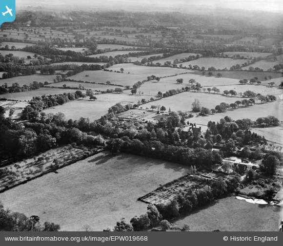
EPW019668 ENGLAND (1927). Totteridge Lodge and environs, Totteridge, from the north-west, 1927
© Copyright OpenStreetMap contributors and licensed by the OpenStreetMap Foundation. 2026. Cartography is licensed as CC BY-SA.
Nearby Images (8)
EPW019668

EPW019635

EPW019633

EPW019637

EPW019634

EPW019640

EPW019636

EPW019631

Details
| Title | [EPW019668] Totteridge Lodge and environs, Totteridge, from the north-west, 1927 |
| Reference | EPW019668 |
| Date | 18-October-1927 |
| Link | |
| Place name | TOTTERIDGE |
| Parish | |
| District | |
| Country | ENGLAND |
| Easting / Northing | 523250, 194158 |
| Longitude / Latitude | -0.21899420069238, 51.632245711625 |
| National Grid Reference | TQ233942 |
Pins
Be the first to add a comment to this image!