
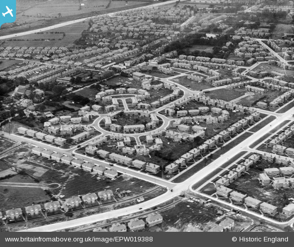
EPW019388 ENGLAND (1927). Western Circle, Burnage, 1927
© Copyright OpenStreetMap contributors and licensed by the OpenStreetMap Foundation. 2025. Cartography is licensed as CC BY-SA.
Nearby Images (12)
EPW019388

EPW019128

EPW019123

EPW019125

EPW019386

EPW019392

EPW019394

EPW019390

EPW019126

EPW019393

EPW019124

EPW019387

Details
| Title | [EPW019388] Western Circle, Burnage, 1927 |
| Reference | EPW019388 |
| Date | 30-September-1927 |
| Link | |
| Place name | BURNAGE |
| Parish | |
| District | |
| Country | ENGLAND |
| Easting / Northing | 386908, 392689 |
| Longitude / Latitude | -2.1970665991528, 53.430567065352 |
| National Grid Reference | SJ869927 |
Pins
 DreamReiver |
Saturday 3rd of September 2016 03:59:19 PM | |
John Ellis |
Sunday 9th of September 2012 09:53:56 PM | |
John Ellis |
Sunday 9th of September 2012 09:53:05 PM | |
John Ellis |
Sunday 9th of September 2012 09:52:34 PM | |
John Ellis |
Sunday 9th of September 2012 09:49:59 PM | |
John Ellis |
Sunday 9th of September 2012 09:49:07 PM | |
John Ellis |
Sunday 9th of September 2012 09:47:44 PM | |
John Ellis |
Sunday 9th of September 2012 09:45:55 PM | |
John Ellis |
Sunday 9th of September 2012 09:45:18 PM | |
John Ellis |
Sunday 9th of September 2012 09:44:21 PM | |
John Ellis |
Sunday 9th of September 2012 09:43:36 PM | |
John Ellis |
Sunday 9th of September 2012 09:41:45 PM | |
John Ellis |
Sunday 9th of September 2012 09:41:01 PM | |
John Ellis |
Sunday 9th of September 2012 09:40:34 PM | |
John Ellis |
Sunday 9th of September 2012 09:39:48 PM | |
John Ellis |
Sunday 9th of September 2012 09:39:19 PM | |
John Ellis |
Sunday 9th of September 2012 09:38:38 PM | |
John Ellis |
Sunday 9th of September 2012 09:38:18 PM | |
John Ellis |
Sunday 9th of September 2012 09:37:53 PM | |
John Ellis |
Sunday 9th of September 2012 09:37:28 PM |